Portfolio

Experience the Plotizo Difference.

See how we turn flat, lifeless plotting PDFs into interactive sales tools that close deals faster. Click on the live demos below.

The Old Way

The Plotizo Way
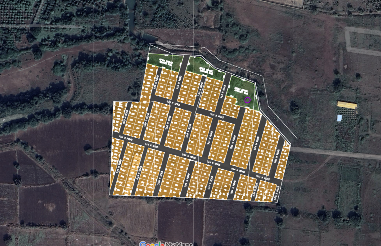
Bhoomi park naded plotting layout real estate plotting layout by plotzo perfectly mapping on google map

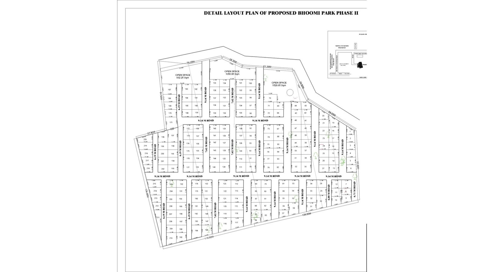
Flat, black-and-white 2D blueprints confuse buyers on site visits and leave them guessing about real boundaries, road widths, and sun directions.

Live Google Maps overlay aligned with satellite imagery. Clients can trace individual plot borders, explore road networks, and view real-world surroundings on their phone.

Our Work

Interactive maps showcasing plots with clear boundaries and amenities.

Large-Scale Premium 10-Acre Township Layout

Bhoomi Park Phase II – Nanded Township

We transformed an approved architectural PDF into a live, interactive Google Maps experience for a major residential layout in Pangari, Nanded. Instead of guessing on paper sketches, buyers can now explore exact plot lines and boundaries directly on their smartphones.

Project Highlights:

  • Total Layout Area: 42,610 Sq.m (approx. 10.5 Acres)

  • Plotted Inventory: 200+ residential plots with verified dimensions

  • Road Infrastructure: 6.00 m to 9.14 m wide planned internal road networks

  • Recreation & Green Belts: 3 designated open public spaces totaling over 3,500 Sq.m

  • Sales Impact: Sales executives share live plot pins on WhatsApp, letting prospective buyers walk directly into their chosen parcel during site visits.

Want to see your layout on Google Maps?

Send us your current PDF or AutoCAD file. We will show you exactly how it looks in the real world.